The 2022 Eruption of Mauna Loa
On Sunday, 27th November, Hawaii’s Mauna Lao volcano erupted for the first time in decades. The world’s largest active volcano, Mauna Loa, has not erupted since 1984. The 1,000C lava flowing down the volcano’s side does not curently threaten residents.
By Anthony Bennett
3/12/2022
Mauna Loa. (2022, December 3). In Wikipedia.
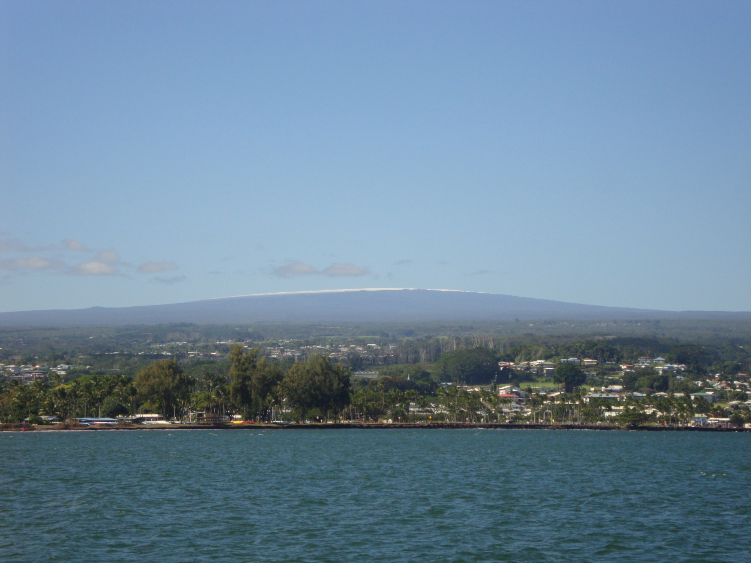
Mauna Loa, meaning “long mountain” in Hawaiian, is the world’s largest active volcano. The volcano covers 2,035 sq miles (5,271 sq km) and forms half of Hawaii’s Big Island, the southernmost island in the Hawaiian archipelago. The summit of Mauna Loa is 4,170m above sea level. However, its base is on the sea floor, meaning it is 9,170 m high (from base to summit), making it higher than Mount Everest.
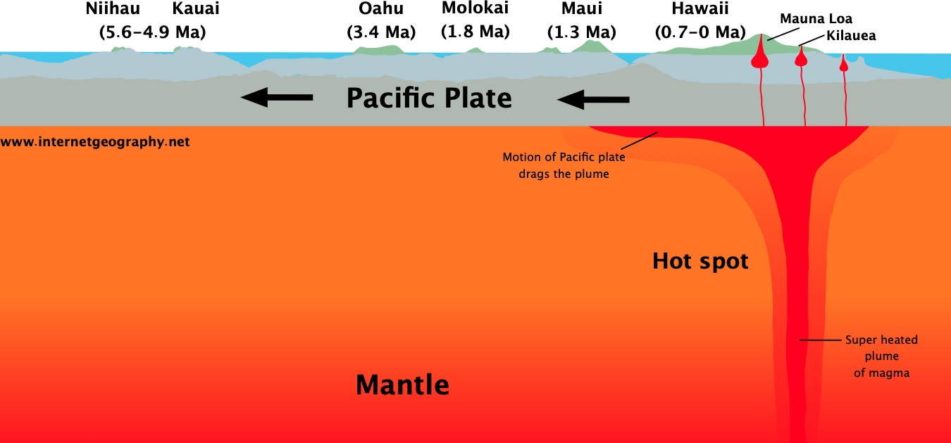
Mauna Loa is a hotspot volcano. A magma plume rises from deep within the Earth to form the Hawaiian islands. A chain of volcanoes has formed as the Pacific Plate moves over the hotspot.
The formation of the Hawaiian islands as the Pacific Plate moves over the hotspot.
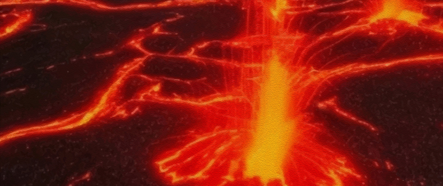
Lava flows from Mauna Loa
Mauna Loa is a shield volcano. It has gently sloping sides formed from layers of lava. Mauna Loa does not produce explosive eruptions as composite volcanoes do. The reason for this is that the lava is runny. Therefore, gasses can escape, leading to a steady but relatively gentle flow of lava out of the volcano.
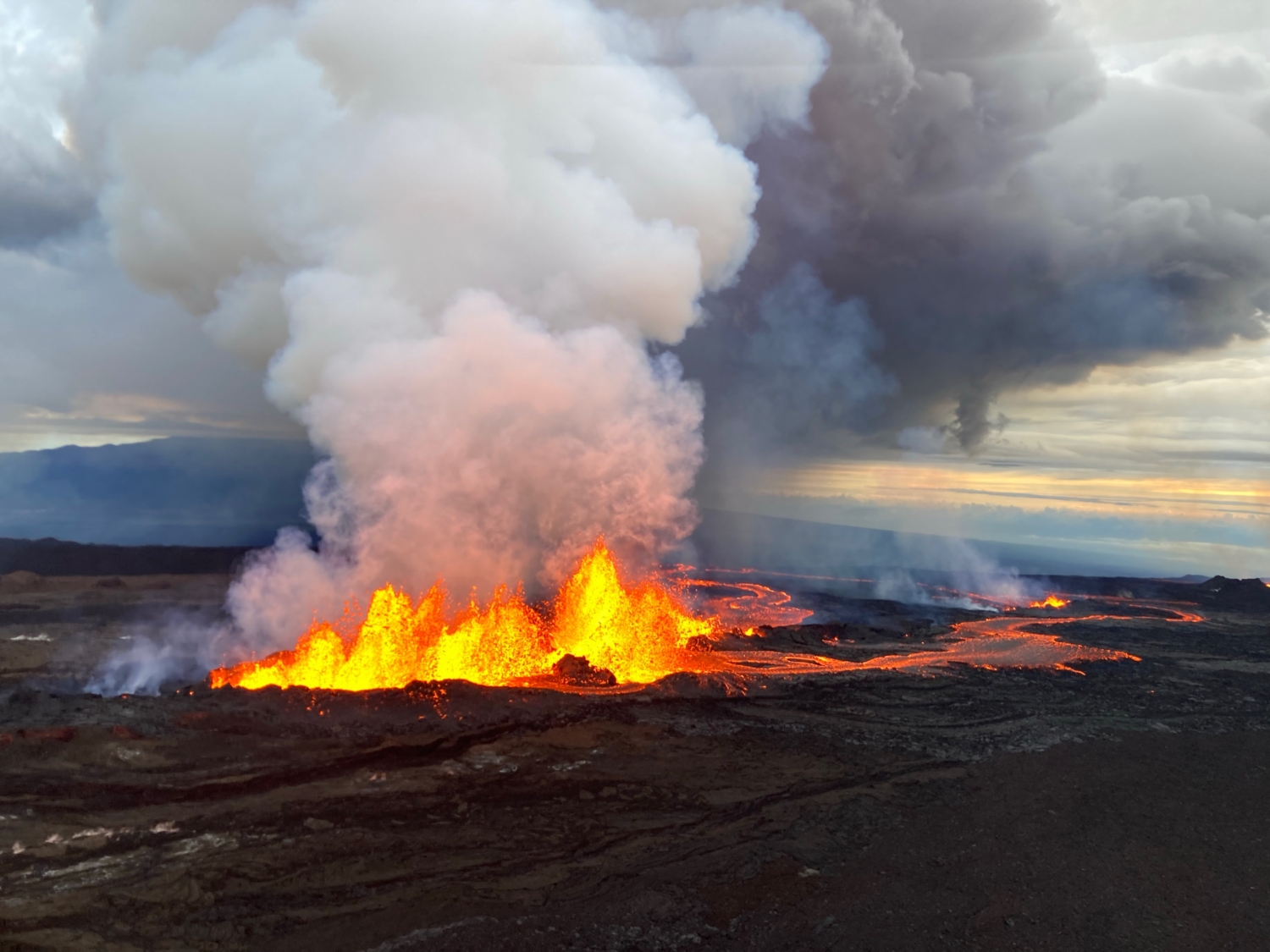
When Mauna Loa erupted, magma first welled up in the caldera – the bowl-shaped pit at the summit of the volcano called Mokuaweoweo. The pit covers an area of six sq miles (15 sq km) and is 600 ft (180m) deep.
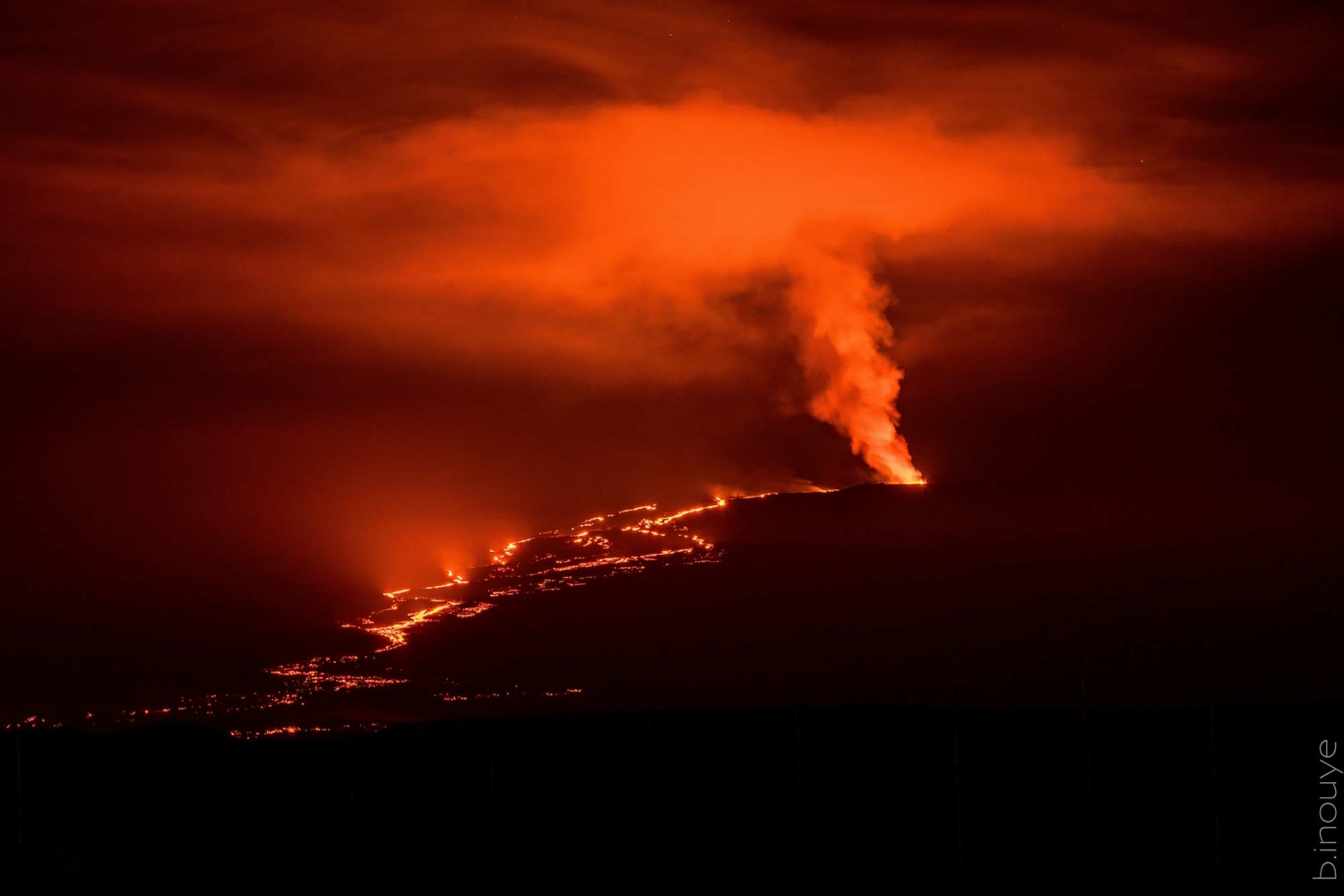
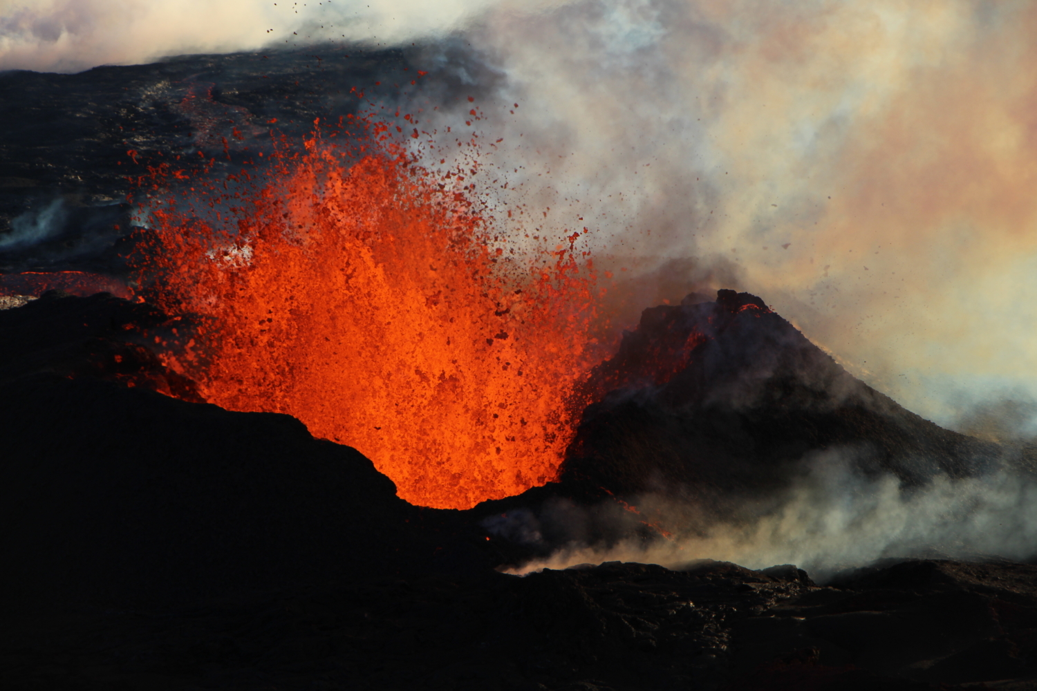
Under pressure, the magma broke through rifts (fissures in the rock) on the side of the volcano. Some lava fountains have been over 40m high. The hot, runny magma began flowing down the mountainside as lava on 28th November 2022.
Some lava has been propelled high into the air and stretched into thin strands of glass called Pele’s hair. Pele was the goddess who was said to live on Hawaii, and the shards are whispy and brown-gold.
Mauna Loa fissure eruption – source Wikipedia
Fissure 3 – source USGS (there are some amazing videos on this page too!)
As the lava cools, its flow rate slows significantly, meaning the lava flows are not life-threatening. Additionally, the lava flowed to the northeast, away from the towns nearest to Mauna Loa in the west. The lava would have to travel a significant distance before doing serious damage to property. Local people were more at risk from the gases Mauna Loa releases. Volcanic fog, or vog, forms when the volcano’s gases, including sulphur dioxide, react with moisture in the air. Vog can cause eye irritation and breathing problems in some people. Locals were advised to avoid outdoor activities and stay indoors with windows and doors shut.
According to US Geological Survey data, Mauna Loa released about 15,000 tonnes of carbon dioxide per day during its 1984 eruption. That’s equivalent to the annual emissions from 2,400 sport utility vehicles. Scientists say all of Earth’s volcanoes combined emit less than 1% of the carbon dioxide humans produce yearly.
Further reading/viewing
US Geological Survey – Some amazing videos here
Volcano Hazard Map by the Hawaii County Civil Defences Agency – An amazing ARC GIS map that is being regularly updated
We can only develop and publish open-access resources like this with the support of Internet Geography Plus subscribers. If you would like to support developments like this on Internet Geography, please consider taking out an Internet Geography Plus subscription (you get access to hundreds of editable resources to use in your classroom) or treat us to a coffee (all contributions are invested into the site – we don’t actually like coffee).

