Banbury Flood Management Scheme
Banbury is a historic market town located in Oxfordshire, England. It is situated on the banks of the River Cherwell (a tributary of the River Thames), near the northeastern edge of the Cotswolds. Banbury is approximately 64 miles (103 kilometres) northwest of London and 22 miles (35 kilometres) north of Oxford, the county town of Oxfordshire.
Why was the Banbury flood management scheme required?
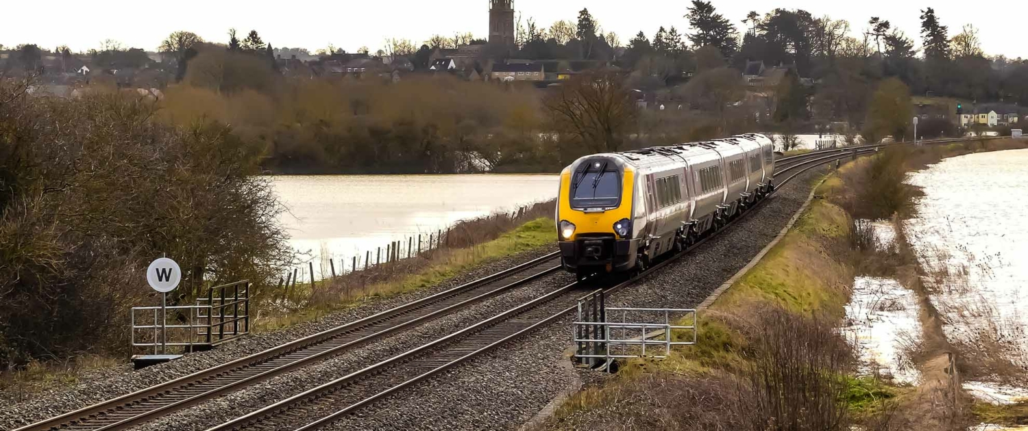
Banbury has been affected by flooding of the River Cherwell numerous times. The 1998 flood led to the closure of the railway station and caused £12.5 million in damage. There was further flooding in 2007.
What is the Banbury flood management strategy?
In 2012, an innovative project was completed to construct a flood storage reservoir north of the town at an investment of £18.5 million. The scheme involved building a 3-kilometre-long and 4.5-metre-high embankment, paralleling the M40 motorway, to form a 3 million cubic meters storage basin. The purpose of the reservoir is to regulate the flow of surplus rainwater into the river, using specially engineered outlets to discharge the water slowly. When heavy rainfall occurs, the surplus water accumulates in the storage reservoir. This water is then gradually released into the River Cherwell over the following days, mitigating any sudden influx that could potentially escalate the town’s flood risk.
The key features of the scheme included:
- Raising the A361
- Constructing a floodwall around motorsport company Prodrive
- Constructing new pumping stations to transfer water
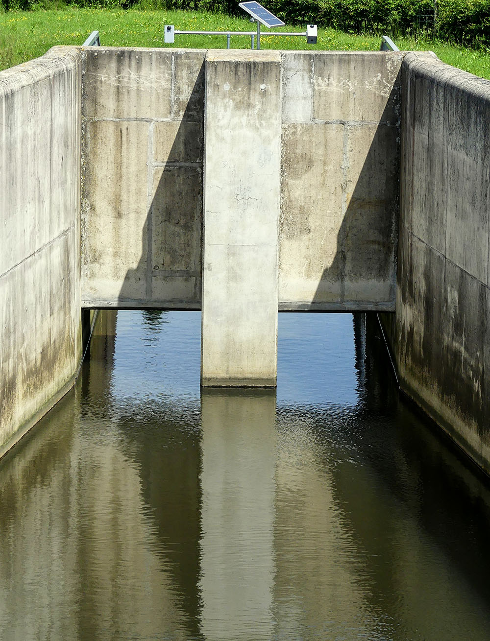
- Controlling the flow of the River Cherwell through the Hardwick and Huscote flow control structures

Banbury Flood Control Structure
- A biodiversity Action Plan (BAP) habitat with ponds, trees and hedgerows
- Constructing 4.5m high embankments using soil taken from the borrow area, which is now a small reservoir used for storing water that would otherwise have caused the River Cherwell to flood
What issues resulted from the scheme?
Social issues
- The A361 is no longer affected by flooding, reducing transport disruption for local people.
- The new green areas and footpaths have improved the quality of life for local people.
- Reduced anxiety in local communities as the risk of flooding has been reduced.
Economic issues
- The cost of the scheme was £18.5 million.
- The benefits are estimated at over £100 million.
- 441 houses and 73 commercial properties are protected from flooding.
- Property values have increased as they are no longer at risk of flooding.
Environmental issues
- Around 100,000 tonnes of earth were required to make the embankment resulting in some habitat destruction.
- The Biodiversity Action Plan (BAP) has resulted in planting trees and hedgerows and constructing ponds.
- The BAP has created new ponds, trees and hedgerow habitats.
- Part of the floodplain will be left to flood if river levels get too high.
- The reservoir provides a temporary habitat for waterbirds.
- The concrete apertures are unnatural in the landscape.
Related Topics
Use the images below to explore related GeoTopics.


