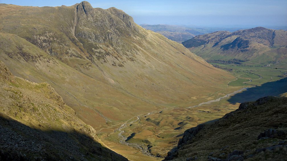
Glacial landforms in the Lake District
The Lake District is an upland area in northwest England once glaciated. The geology is volcanic, though during the last ice age the land was re-sculptured, producing spectacular scenery and landforms.
The Lake District is famous for its ribbon lakes and mountains. The region contains numerous examples of corries, tarns and arêtes. The mountain Helvellyn is home to several glacial landforms. The first is Striding Edge, the narrow knife-edged ridge or arête.
The second is Red Tarn, a lake formed in a corrie on the side of the mountain. The image below shows Red Tarn from Striding Edge.
In the image below, you can see how rotational slip in the corrie eroded into the mountainside. The deep, wide hollow has filled with water since the ice melted. Freeze-thaw weathering still affects the landscape in this area.
The Lake District gained its name from the large number of ribbon lakes in the region. Ribbon lakes occupy deep glacial troughs. The image below shows Lake Windermere, the largest ribbon lake in the Lake District and the largest natural lake in England.
The Lake District is littered with ground moraine though much of it you cannot see now vegetation is present. Swarms of drumlins can be seen in Swindale in the northeast Lake District and at Langdale.

Drumlins at Langdale
Fields in Borrowdale use terminal moraines as boundaries. Glacial erratics are very common across the region. Examples can be seen in Ennerdale.
Use the images below to explore related GeoTopics.