Spurn Point Case Study
Spurn Point is a spit located at the southern most end of the Holderness Coast
The area known as Spurn forms the southern extremity of the Holderness coast and includes the unique feature of Spurn Point, a sand and shingle spit 5.5km long, reaching across the mouth of the Humber.
Spurn is made up of the material which has been transported along the Holderness Coast. This includes sand, sediment and shingle.
Spurn is an example of a feature geographers call a spit.
The spit forms a sweeping curve which continues the line of the coast. The sand which forms the spit has been transported along the Holderness Coast by longshore drift. The satellite image below shows sediment being transported along the coast.
The energy in the waves transporting the material reduces where the North Sea meets the Humber Estuary. As a result, the material is deposited. This process is known as deposition.
The diagram below shows the formation of Spurn Point.
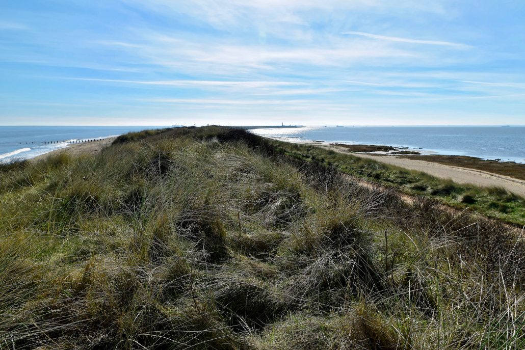
Sand dunes have formed along Spurn. These have been colonised by vegetation, particularly marham grass.

Spurn Point
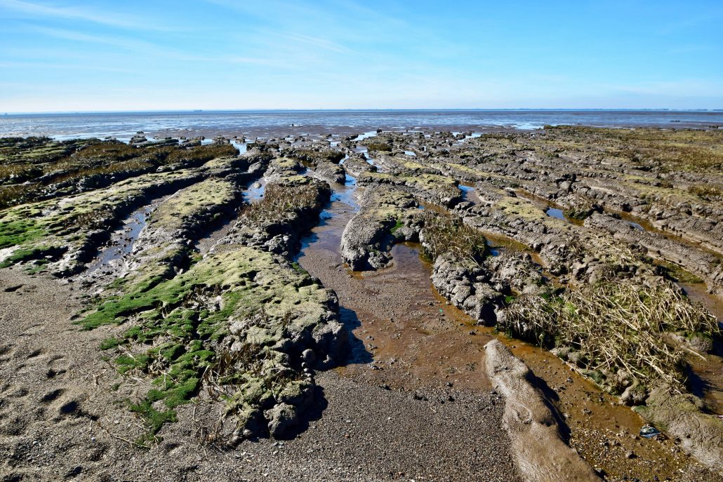
A salt marsh has formed on the inside of Spurn. This is because the area is sheltered and the low energy environment results in sediment being deposited by the Humber Estuary.

Salt marsh at Spurn Point
In December 2013 Spurn Point was breached by a storm surge. A significant area of sand dune and the road linking Spurn Point to the mainland was destroyed. This area is now known as the wash over area due to it being inundated with water during high tide.
You can view more images of Spurn in the gallery. If you are interested in visiting Spurn take a look at the Yorkshire Wildlife Trust website for more details. Due to the wash over area being inundated with water at high tide as the result of erosion caused by the tidal surge, be sure to check out when it is not safe to cross when planning a visit.
Use the images below to explore locations along the Holderness Coast.