Withernsea Case Study
A coastal town along the Holderness Coast which has a range of coastal management techniques in place.
Withernsea is a seaside resort town on the Holderness Coast, situated approximately 10 miles (16 km) north of Spurn Point and 17 miles south of Hornsea where the B1242 meets the A1033. The town is surrounded by rich agricultural land and yet sits close to the cliffs and the North Sea.
Withernsea lies upon boulder clay. This material was deposited by glaciers during the last ice age 18,000 years ago. The boulder clay is very soft and erodes easily. Below the top layer of boulder clay, the geology is Cretaceous chalk. However, it is so deeply buried beneath the glacial deposits that it is never exposed on the beach. The chalk probably lies at around 60 to 70 feet (18 to 21 m) under the sand, gravel and clay beds and possibly deeper.
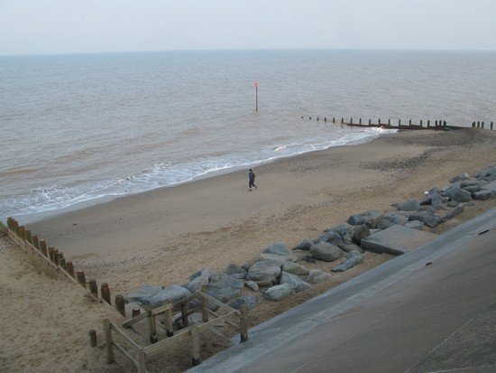
The groynes on Withernsea beach ensure wide and relatively steep beaches. The beach material is made up of sand and shingle.
The seafront at Withernsea is protected by hard engineering solutions such as groynes, concrete seawalls and rock armour.
Coastal defences were built at Withernsea during the 1870s. Nine extensions have followed. Replacement of timber groynes and a strengthening of the sea wall were carried out at Withernsea’s north end in 2017/2018.
Groynes were originally installed on Withernsea beach in the early part of the 20th century. During 2017/18 the decaying groynes were replaced or refurbished. Hull-based civil engineering contractor Wright Civil Engineering started work in April 2017 on the East Riding Council scheme to replace old timber groynes. The groynes are essential to help retain the sand adjacent to the hard coastal defences. Without the sand, the coastal structures could become unstable, which could result in their collapse, putting Withernsea at risk from the sea. It is estimated that the groynes will have a lifespan of around 50 years.

The whole of the defended frontage benefits from a groyne field which traps sand and has formed wide beaches. This image was taken prior to the groyne replacement programme in 2017/18
Running along the Withernsea promenade is a recurved seawall, built to protect the Withernsea coastline from erosion. Originally, there was a straight wall protecting the town, that was built in 1875, however, the energy of the waves eventually scoured away the base of the wall causing it to collapse. Straight seawalls protect a coastline from erosion by reflecting the energy from the waves back out to sea, whereas recurved sea walls spread out the energy. The present seawall cost a total of £6.3million, £5000 per metre, to construct. Sections of the sea wall were upgraded during 2017.
Protecting the seawall is rock armour (rip-rap), which is a group of different-sized rocks that are designed to absorb the energy from the waves, reducing the impact on the seawall and the town behind. These rocks lie in front of the seawall along the Withernsea coastline, adding further protection from erosion. Rock armour was introduced to prevent outflanking and protect fixed properties lying south-west of the seawall in 2005. The image below shows rock armour to the south of the terminal (last) groyne.
Studying a beach profile is an ideal way of investigating the impact of hard engineering defences. Below is a profile for the beach in front of the Queen’s Promenade at Withernsea.
As you can see form the beach profile above the beach is relatively steep indicating a wide beach which helps protect the coast from erosion. Also, there is no evidence of cliff retreat which suggests the coastal defences are effective along the sea front at Withernsea.
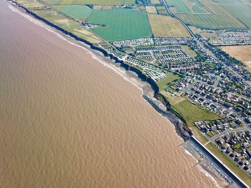
Rates of coastal erosion have increased to the south of the defences at Withernsea. This is because the material is trapped by the groynes along the seafront. This means beach material that is transported away by longshore drift is not replaced leaving little sediment on the beaches. Waves can then reach the base of the cliff at high tide causing erosion of the soft boulder clay cliffs. The impact of this can be seen below.

Downdrift of the sea defences at Withernsea , the adjacent undefended coast is being eroded resulting in a set back.
If the transfer of material is interrupted at any point along the coast, either naturally or by a protective structure such as a groyne or seawall, then the local sediment budget is affected. Material tends to be washed out to sea or along the coasts by longshore drift leaving adjacent beach levels reduced allowing waves to deliver greater destructive energy at the base of the cliffs.
Shortly after a defensive structure is put in place, a section of cliff immediately downdrift begins to erode at an increased rate. The resulting indentation develops a characteristic crenulate shape (from the Latin word for notch), which extends some distance along the coast. Part of the embayment process attempts to creep behind or outflank the defence.
In time, the rate of loss will stabilise as the system adjusts to a position of equilibrium, or pattern of erosion similar to the coast in general. This is because the rate of loss and sediment is matched by its replacement, though the crenulate indentation remains.
The impact of the terminal groyne effect is also evident in the profile for the beach to the south of the caravan park at Withernsea shown in the image above.
As you can see from the profile above the cliff has eroded rapidly over the last 15 years. This indicates rapid erosion to the south of the defences at Withernsea.
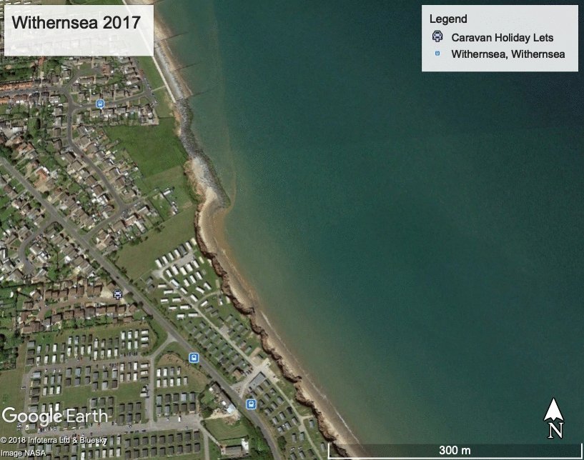
The rapid rate of erosion can be clearly seen in the image below.

Withernsea – changes in coastline between 2007 and 2017
The image below shows the impact of erosion at Golden Sands Holiday Park to the south of Withernsea.
Golden Sands Holiday Park, Withernsea
The beach profiles shown on this page are Copyright of East Riding of Yorkshire County Council. you can access them on their Coastal Explorer website.
You can view more images in the Withernsea photo gallery.
Use the images below to explore locations along the Holderness Coast.