Using images in Geography #2 Scroll It
Images are a great way of encouraging thinking skills in the geography classroom. This series of posts explores a range of strategies to support the development of thinking through the use of images.
Using images in Geography #2 Scroll It
Setting up a series of scrolling images is a great way of introducing new information to students. They are also a powerful way of addressing misconceptions. Using presentation software such as Microsoft Powerpoint or Apple Keynote it is really easy to create a file containing a number of images that can be set to scroll. Your presentation could be running when learners enter the room and the images can be a great way of immediately engaging students.
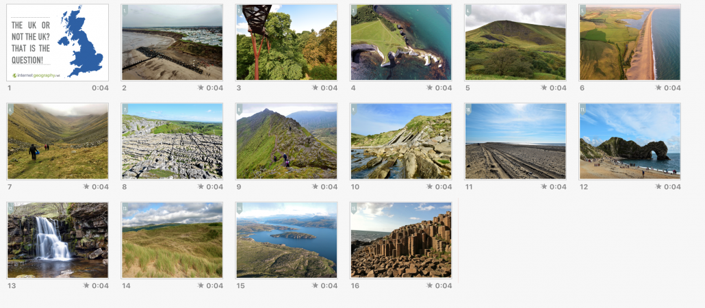
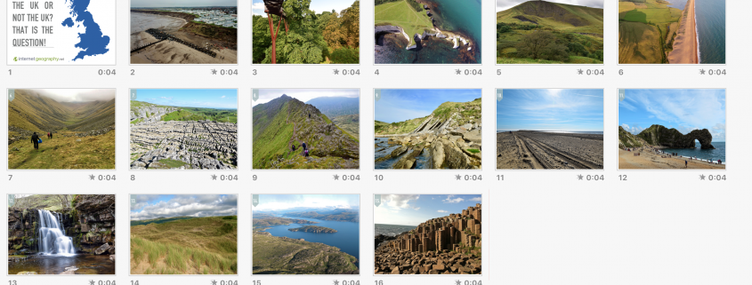
Below is an example of a scrolling presentation in both Keynote and Powerpoint format. The scrolling presentation is a starter activity for the first lesson of the AQA Physical Landscapes unit, in which learners examine the physical geography of the UK. As the presentation is scrolling the students are to decide whether each image was taken in the UK or not. Of course, all the images were taken in the UK, however, the point I’m trying to promote is that the UK has some of the most diverse landscapes for any country of its size in the world.

- Click to share
- Click to share
- Click to share
- Click to share
- Digg
- Evernote
- Gmail
- Print Friendly
Scrolling images of the UK
You can download the presentations below. Beware, the file sizes are very large as they contain high-resolution images.
Download in Keynote (80mb)
Download in PowerPoint (75.7mb)
All images except the Giant’s Causeway are © Internet Geography. They are free to use in your classroom, but please don’t re-distribute or include in commercial resources.
Anthony Bennett
Using images in Geography #2 Scroll It
/0 Comments/in Images in Geography, News/by Anthony BennettRelated
Using images in Geography #1 Identify, classify, rank and justify
/0 Comments/in Images in Geography, News/by Anthony BennettRelated


Leave a Reply
Want to join the discussion?Feel free to contribute!